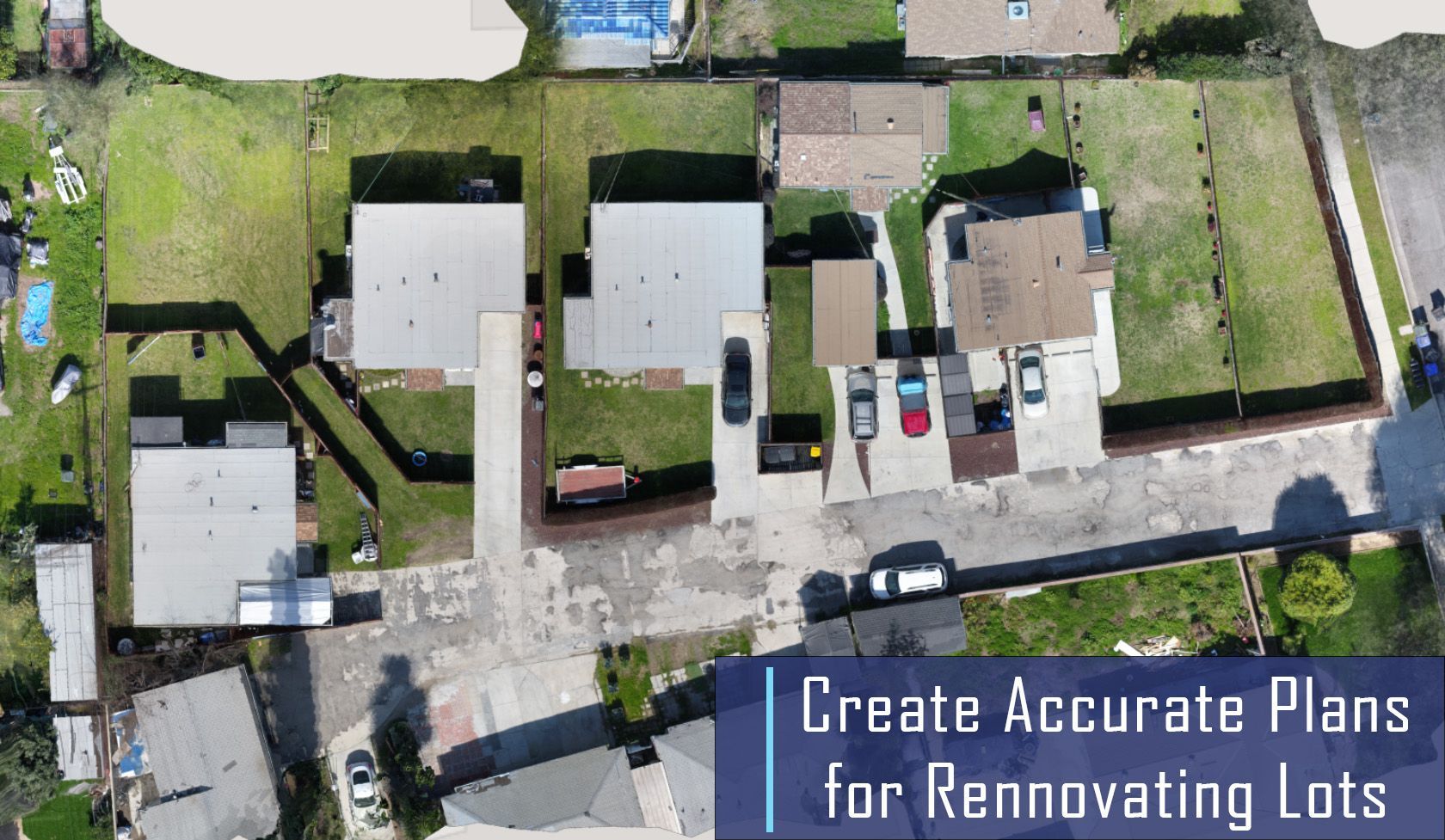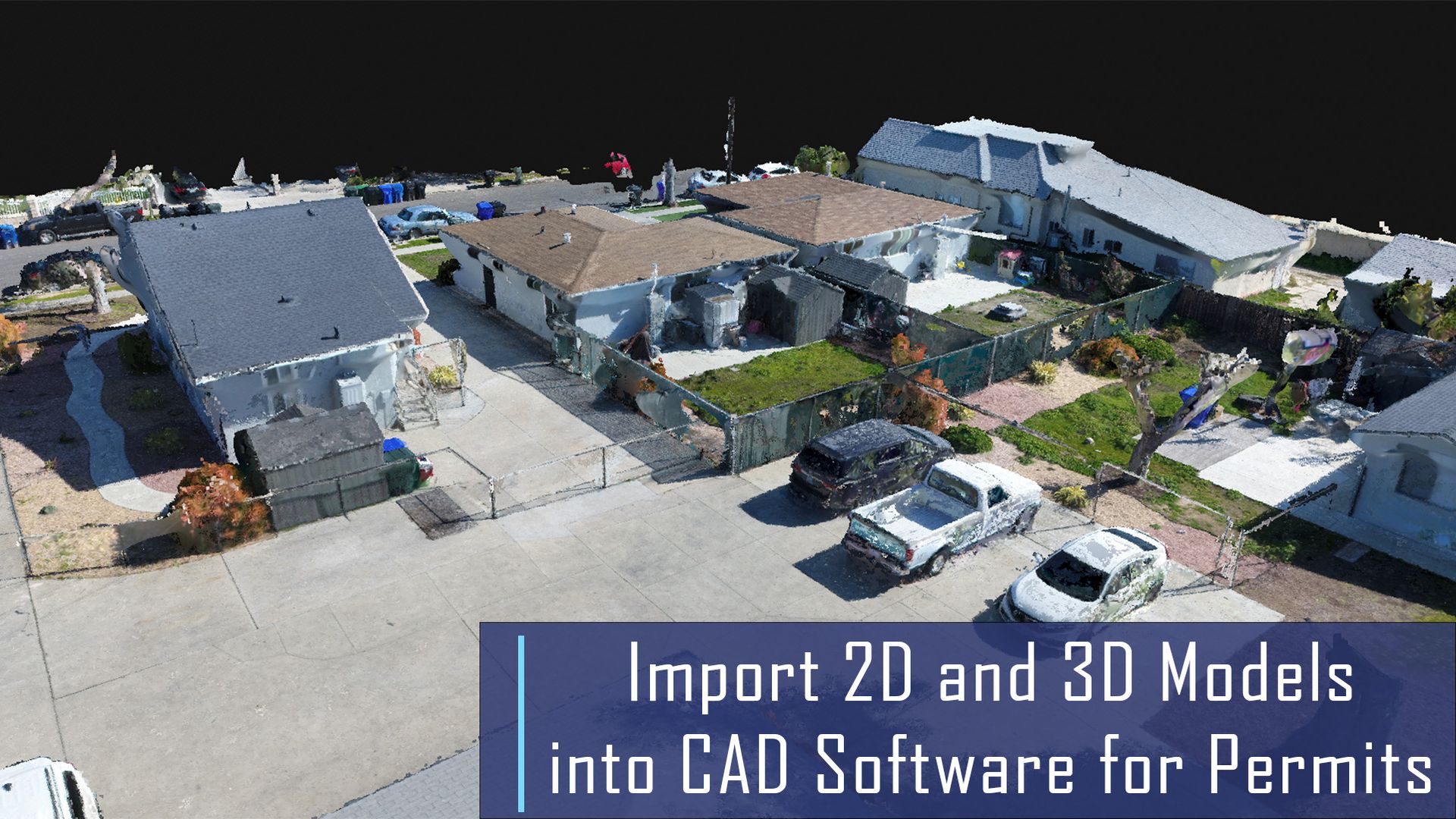
Benefits of 3D Mapping Case Study
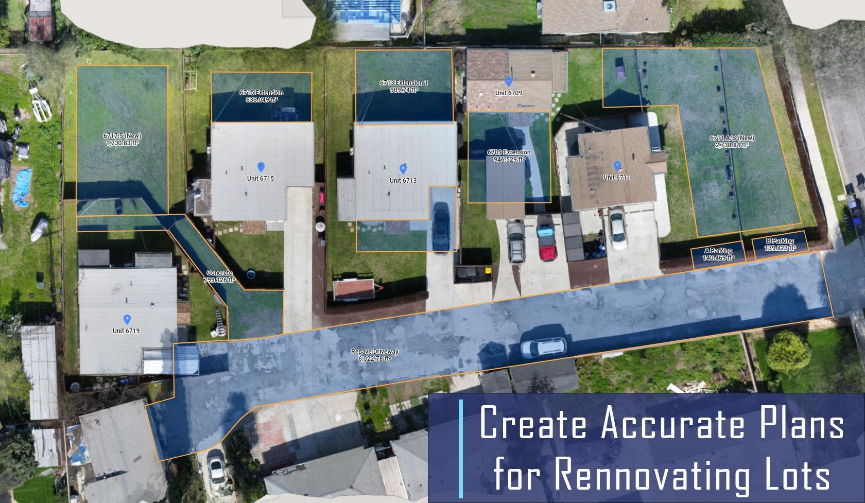
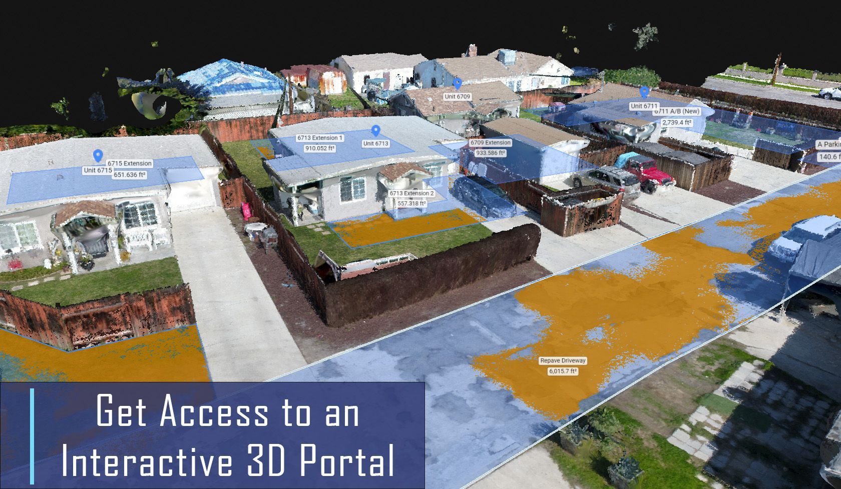
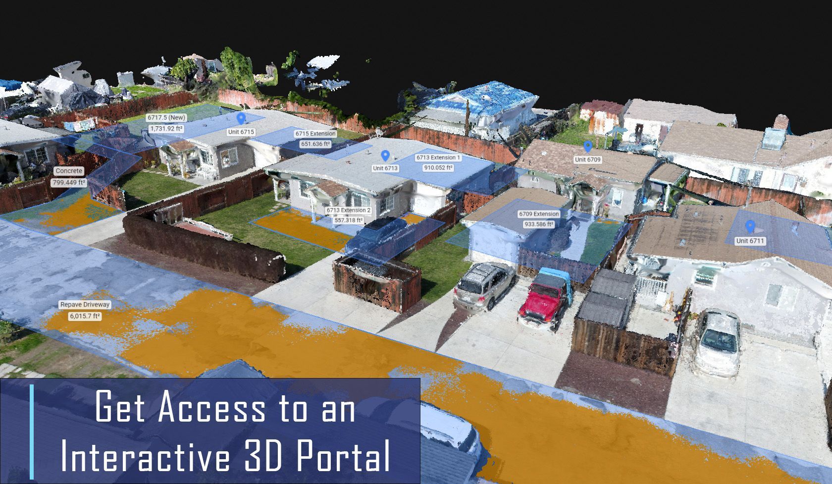
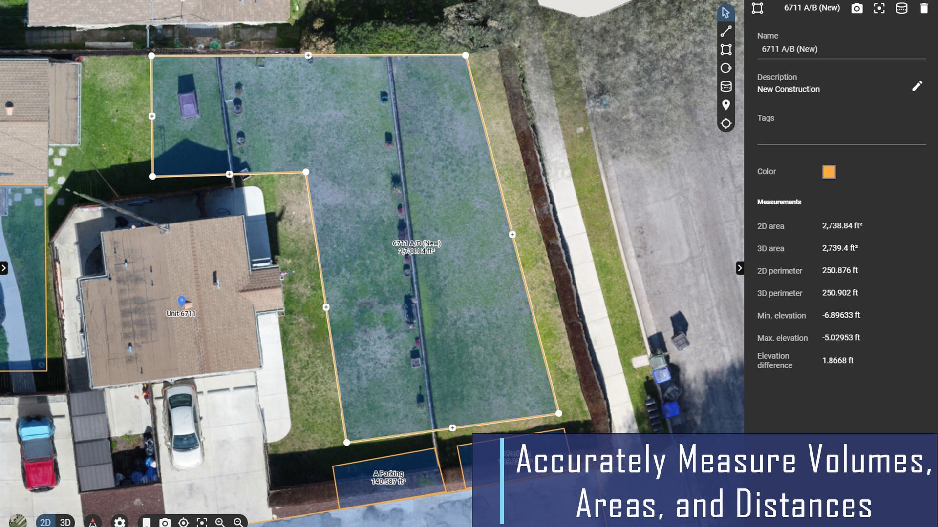
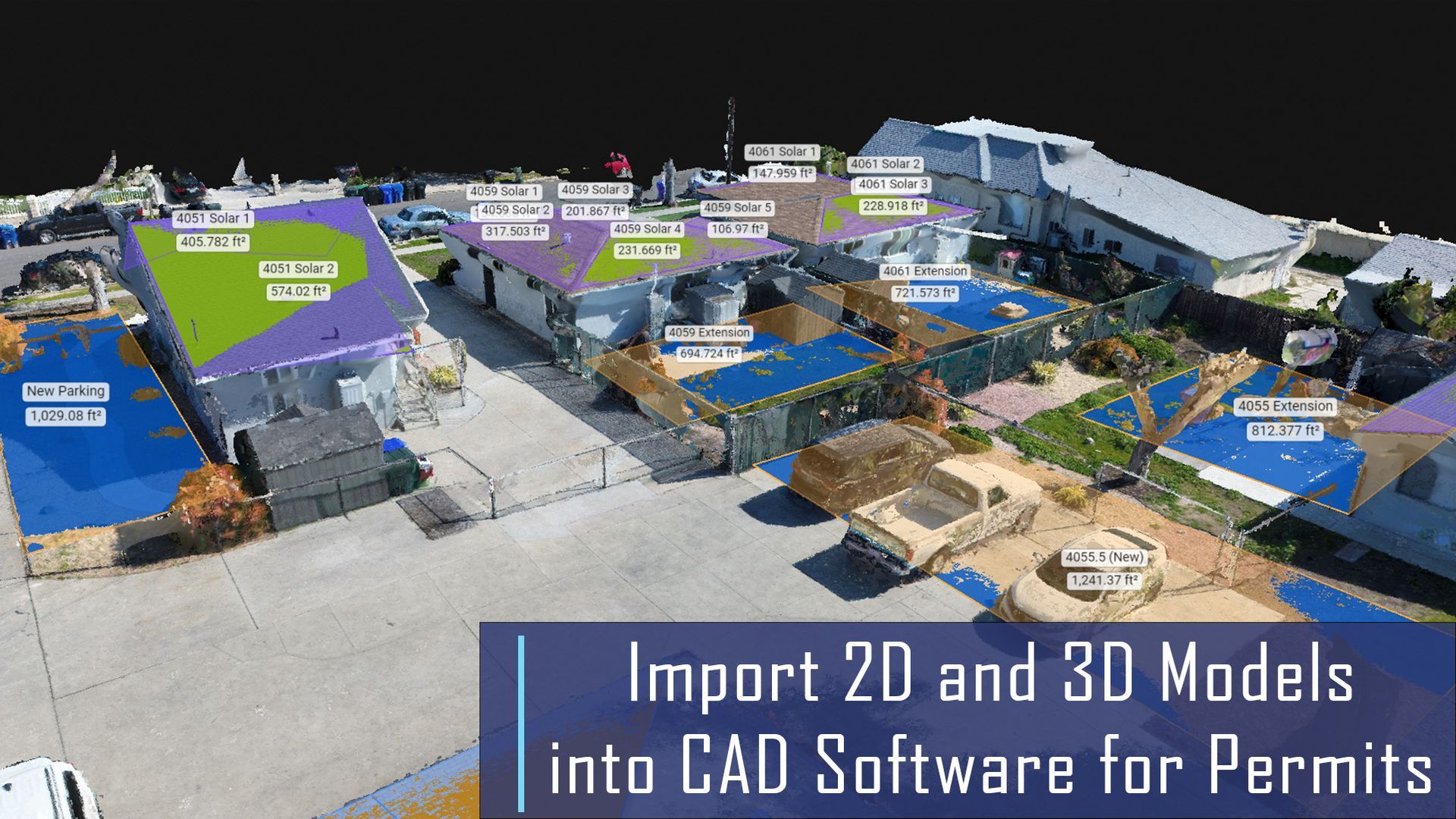
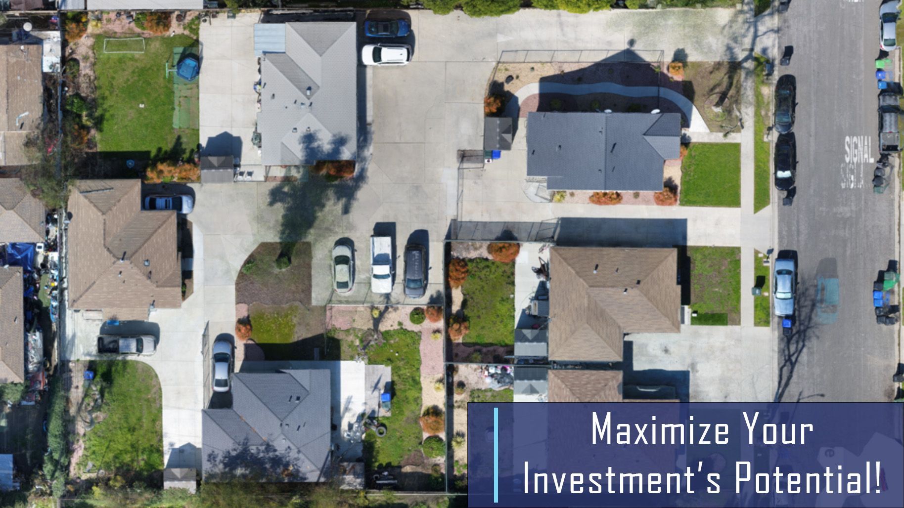
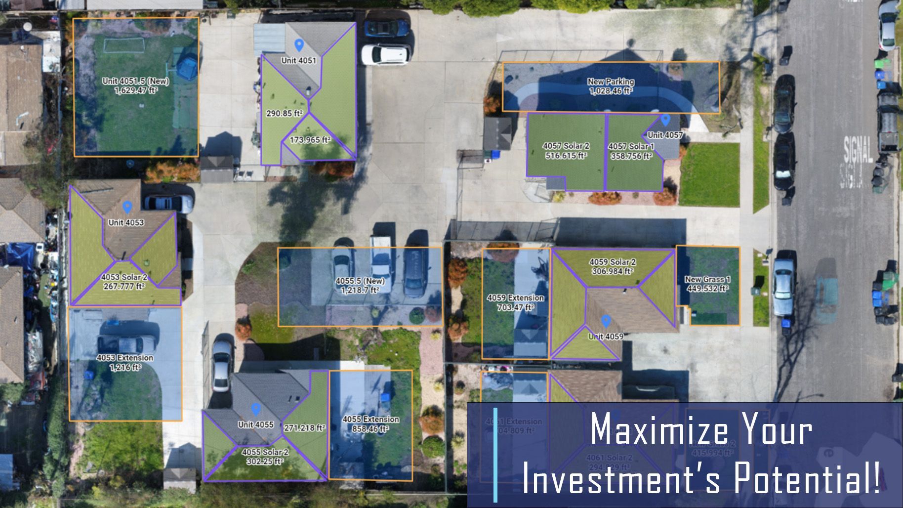
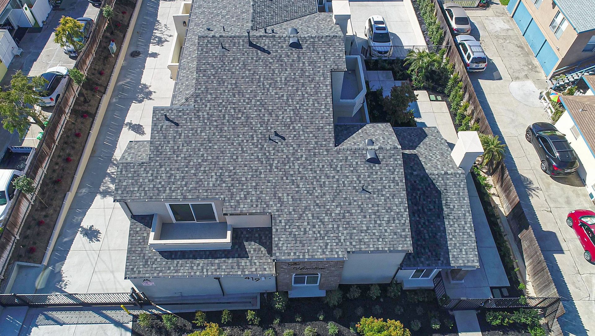
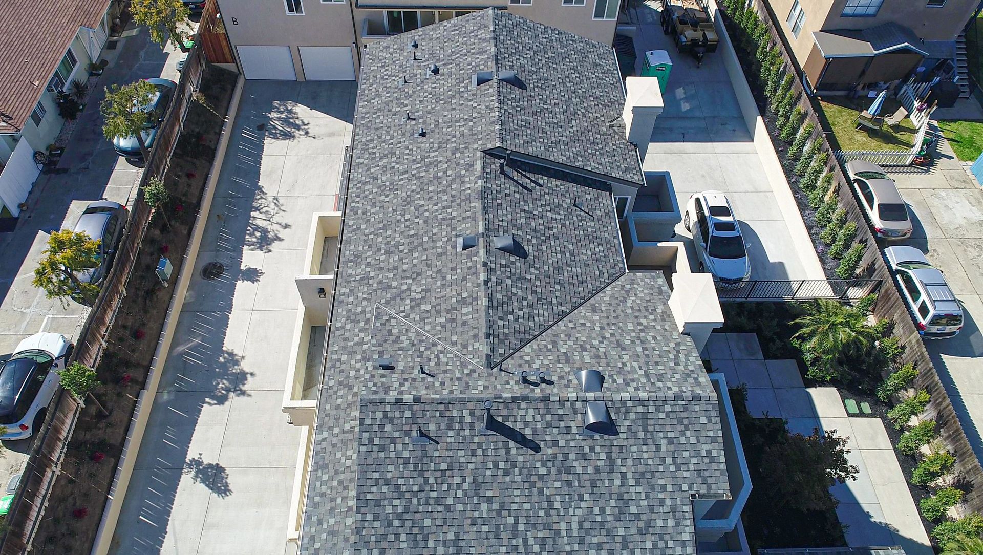
One of our owners was interested in maximizing the potential of two of their properties so we mapped out and created 3D models of their two lots using our in-house licensed drone pilot. Using the 3D models, we were able to create plans for potential expansions to the existing units and create new ADU’s/duplexes with very accurate dimensions. One of the lots was especially under utilized when it was originally built and had two large areas that were just gated off and left completely unused for decades so there was a lot of potential for improvement. Between the two lots, the owner originally had 8500 rentable square feet in total and we were able to show them that both of their lots had the potential to build up to an additional 6,000 rentable square feet each for a new total of over 20,000 square feet!
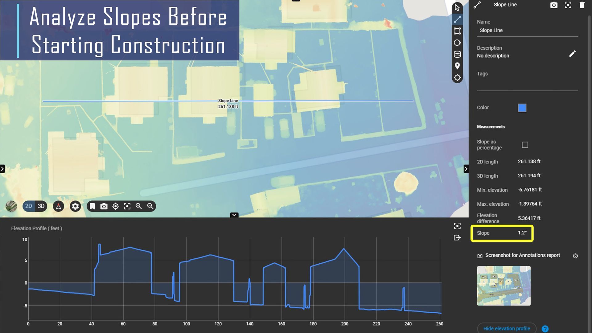
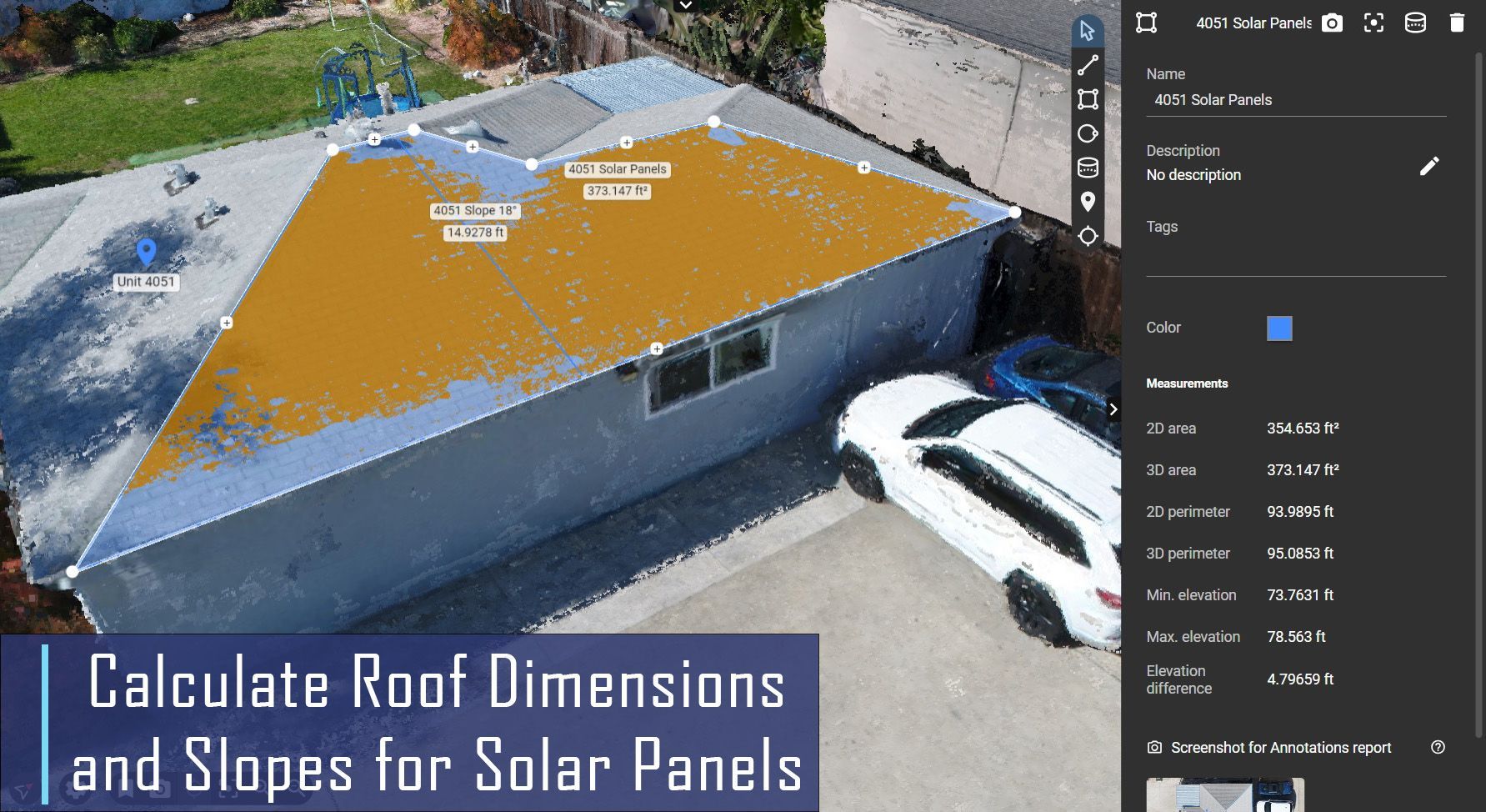
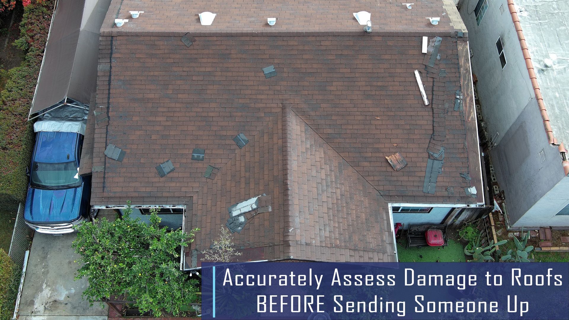
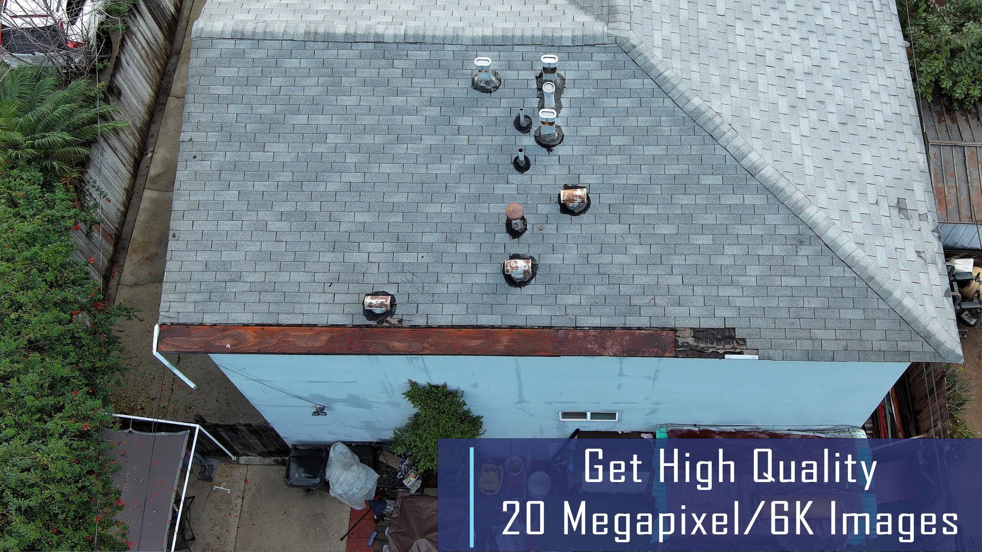
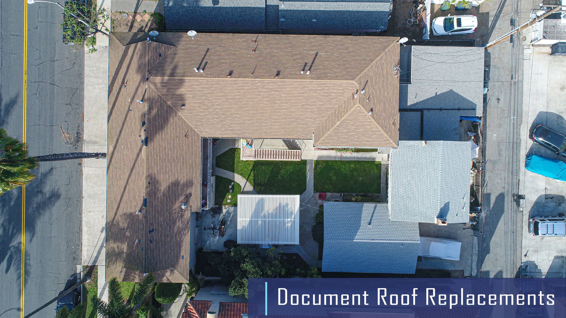
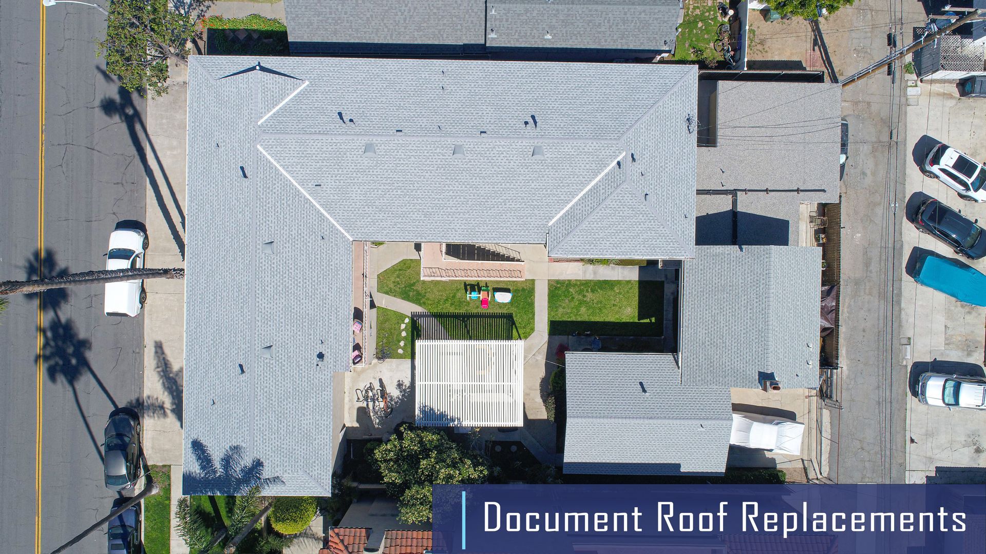
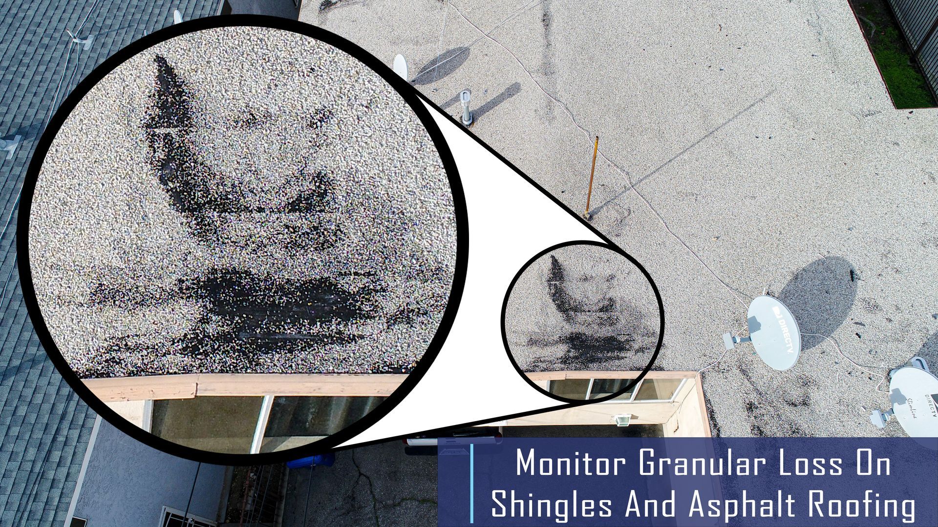
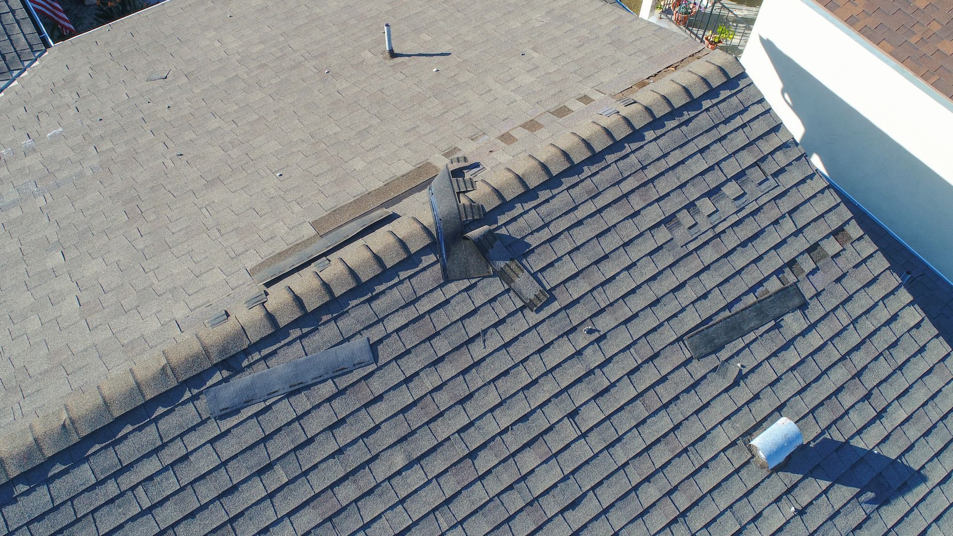
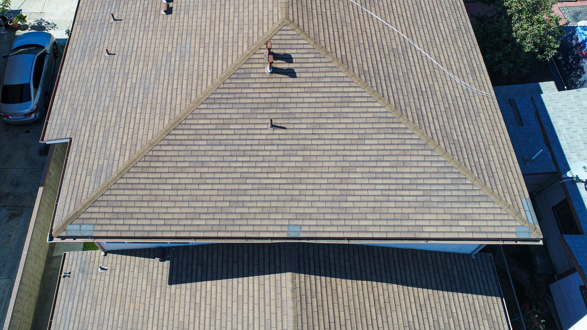
In addition, with the 3D models, we could also measure the dimensions, areas, and slopes of each roof to assist with planning the installation of solar panels or a roof replacement, measure the grade/slope of the entire lots, and measure the square footage of the shared driveway, which desperately needed to be repaved, all with a high level of accuracy.